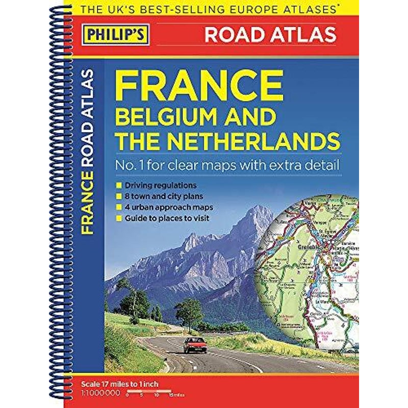
Philip's Road Atlas France, Belgium and The Netherlands Travel Book

Philip's Road Atlas France, Belgium and The Netherlands Travel Book

 
Philip's Road Atlas France, Belgium and The Netherlands: Spiral A5 (Philip's Road Atlases)
Author: Philip's Maps
Publisher: Philip's
Category: Travel, Europe
Book Format: Paperback

Philip's Road Atlas France, Belgium and The Netherlands shows the national road networks at a scale of 1:1 million, with ultra-clear detailed mapping for urban areas. Scenic routes are highlighted, and the maps show numerous places to visit including beaches, theme parks, national parks and World Heritage sites.Philip's Road Atlas France, Belgium and The Netherlands includes:2-page route-planner;Listings for ski resorts and top visitor attractions;38 pages of clear, detailed road maps, with car ferries and toll, toll-free and pre-pay motorways all clearly marked;Large-scale approach maps for four major cities (Bordeaux, Lyon, Paris, Strasbourg);City-centre plans marking historic buildings and tourist attractions as well as car parks, head post offices and other facilities in eight major cities (Amsterdam, Brussels, Bordeaux, Luxembourg, Lyon, Marseilles, Paris, Strasbourg).

About Philip's Maps
Philip's has been at the forefront of creating maps and atlases since 1834. Whether a local street map or a fact-packed World Atlas, we use the most up-to-date technology, expertise and our global network to ensure our customers have all the information they need.

GTIN: 9781849074001

Shipping Details

  • We ship across Australia, including major cities like: Sydney, Melbourne, Perth, Brisbane, Adelaide, Canberra, Newcastle and the Gold Coast
Refund Guarantee Icon
Shop with peace of mind
All marketplace products are covered by our MyDeal Refund Guarantee Learn More
Sold & shipped by AUGOODS
cashback icon
platinum Seller
A seller's rating is an overall score calculated from performance metrics. Learn More
98.50%
Reference ID: 2355467

Reviews (0) Add Review

No reviews yet